Our Waitarakao Community feedback 2023
Consultation has concluded
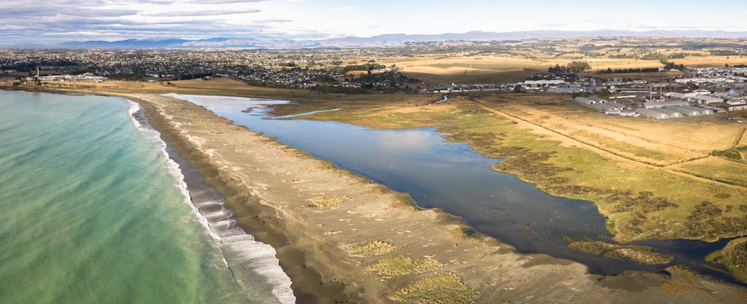
Our lagoon needs help. Let's make a plan.
Waitarakao Washdyke Lagoon is a special place for wildlife and mahika kai food gathering, but now it's in decline and the habitat for plants and animals has degraded.
Department of Conservation, Environment Canterbury, Te Rūnanga o Arowhenua and Timaru District Council have joined together to make a plan to restore the health of the lagoon and its wider catchment – and we want your help to make sure we get it right.
Why a plan is needed
Waitarakao Washdyke Lagoon is a significant wildlife sanctuary and a special place for mana whenua, local people and visitors from all around the country.
It was once an abundant mahika kai food gathering hub for local mana whenua and visiting iwi from all over the South Island Te Waipounamu. Tuna (eel), kanakana (lamprey) and all sorts of fish and shellfish were plentiful.
In recent decades however, the lagoon has shrunk and its health and the habitat of the wildlife is declining. Coastal flooding and erosion, and the impacts of climate change, are a risk to the lagoon and to property, farmland and industry in the wider catchment area.
Improving the mauri (life force) of the lagoon will take cooperation across many agencies, organisations, groups and stakeholders. That's why we want the whole community to get involved in creating a strategy to plan for the future of this special place.
How to get involved
To get involved, sign up for future updates (click 'Stay Informed') as we develop Our Waitarakao Washdyke Lagoon Catchment strategy.
-
Our Waitarakao - workshops complete busy year

The Our Waitarakao project has continued to attract keen interest from the Timaru community.
A recent series of workshops completed the key activities for 2023, following on from wider public engagement earlier this year.
Workshops seek deeper community knowledge
Three community workshops drew on the lived experience, knowledge and views of people from the community, with diverse backgrounds in industry, te Ao Māori, business, farming, education, transport, disability support, conservation and science. The groups worked together to discuss proposed objectives for the strategy and how they could be measured and implemented over time.
Our Waitarakao project lead Chris Fauth said members of the workshop have provided valuable information to consider.
“Having the community's involvement is essential for creating a shared vision and a successful outcome for the lagoon and its catchment. We were highly impressed with the participants’ willingness to share ideas and their own personal, cultural, and business perspectives – everything from practical ideas on how we can engage with school children, through to input on appropriate restoration timeframes,” he said.
“The subject matter for this project can be complex – including the impacts of natural hazards, human activity and climate change on ecology, mahika kai, flood defences and water flow – but the workshop members were fully engaged and have made a great contribution to the project.”
The information and feedback from the workshops will now be considered by the project team, with input from the Working Group and Steering Group, as they create a draft strategy for the lagoon and catchment, which will be shared with the community for feedback in 2024.
Initiatives underway
Meanwhile, there are initiatives already underway or being planned to help improve the catchment environment - including native riparian plantings, ongoing predator trapping, educational visits, fish surveys and water quality monitoring. Here are just a few examples of what’s been happening.
Catchment-wide fish survey
Our science team is conducting a catchment-wide survey to investigate the distribution of fish in the streams and lagoon of Waitarakao. This survey includes e-DNA sampling as well as the more common fish survey methods such as netting and trapping (pictured). The key objective of this survey is to gather a comprehensive understanding of fish communities and their habitats in the Waitarakao Lagoon system and its upstream catchments. The team has worked closely with landowners to get access to survey sites and share information about the work underway.
Predator trapping
A team of volunteers continues to work with the Department of Conservation to control predators within the lagoon area and wider catchment to get rid of the pests that prey on birdlife in the area. The team regularly sets and maintains a trapline through the wildlife sanctuary to eliminate mustelids and rats. If you’d like to get involved or buy a trap for your own backyard, get in touch with Predator Free Timaru.
Learning about the lagoon
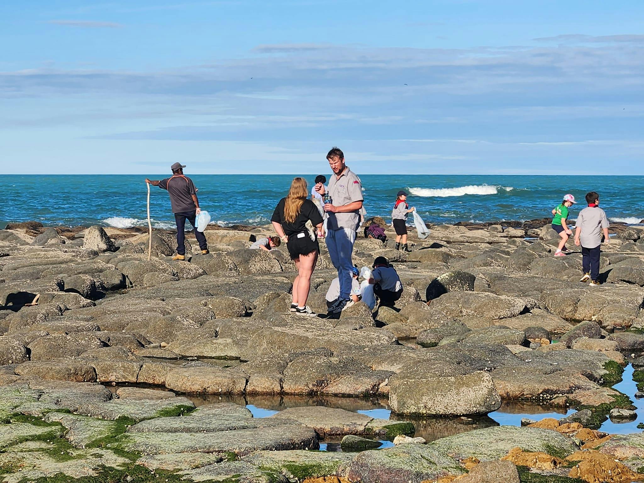
Tamariki in the South Canterbury area are continuing to visit Waitarakao Lagoon to learn about its special place within the wider ecosystem and our community. In November, St Joseph’s School Timaru students took part in a series of lessons, as well as a field trip to the lagoon. They learnt about pest mammals causing problems in the area, stormwater and its impacts on the environment, and origins of rubbish they collected on the beach.
Planting native species
The lagoon ecosystem benefited from 1,300 new natives planted by teams from McCain Foods NZ and Te Kete Tipuranga O Huirapa Ltd (a division of Arowhenua Native Nursery) in November.
Thanks to Climate Change Resilience funding from central government, these plants will help create spawning habitat for inanga and contribute to flood protection and improved biodiversity values for the lagoon.
Read our latest community project summary in the Timaru Courier.
-
Our Waitarakao - that's a wrap for 2023

The past year has been extremely busy for the Our Waitarakao project.
Here's a summary of what we've been up to in 2023.
Waitarakao Washdyke Lagoon open day - Sea Week
More than 130 people visited the lagoon during this special community event on 11 March to explore the rock pools, share their stories, and learn about the environment and the issues facing the lagoon and its wider catchment. This event also helped raise awareness of the upcoming project and reinforced that the community would be invited to get involved.
Community feedback - what you told us in June/July 2023
South Canterbury people provided a wealth of information, ideas and stories over winter 2023 when the Our Waitarakao project engaged with the local community on its plan for a catchment strategy.
The campaign was highly visible, with many locals mentioning they had seen the digital billboards, MyWay bus backs, press stories and ads, and information on the Our Waitarakao Facebook page.
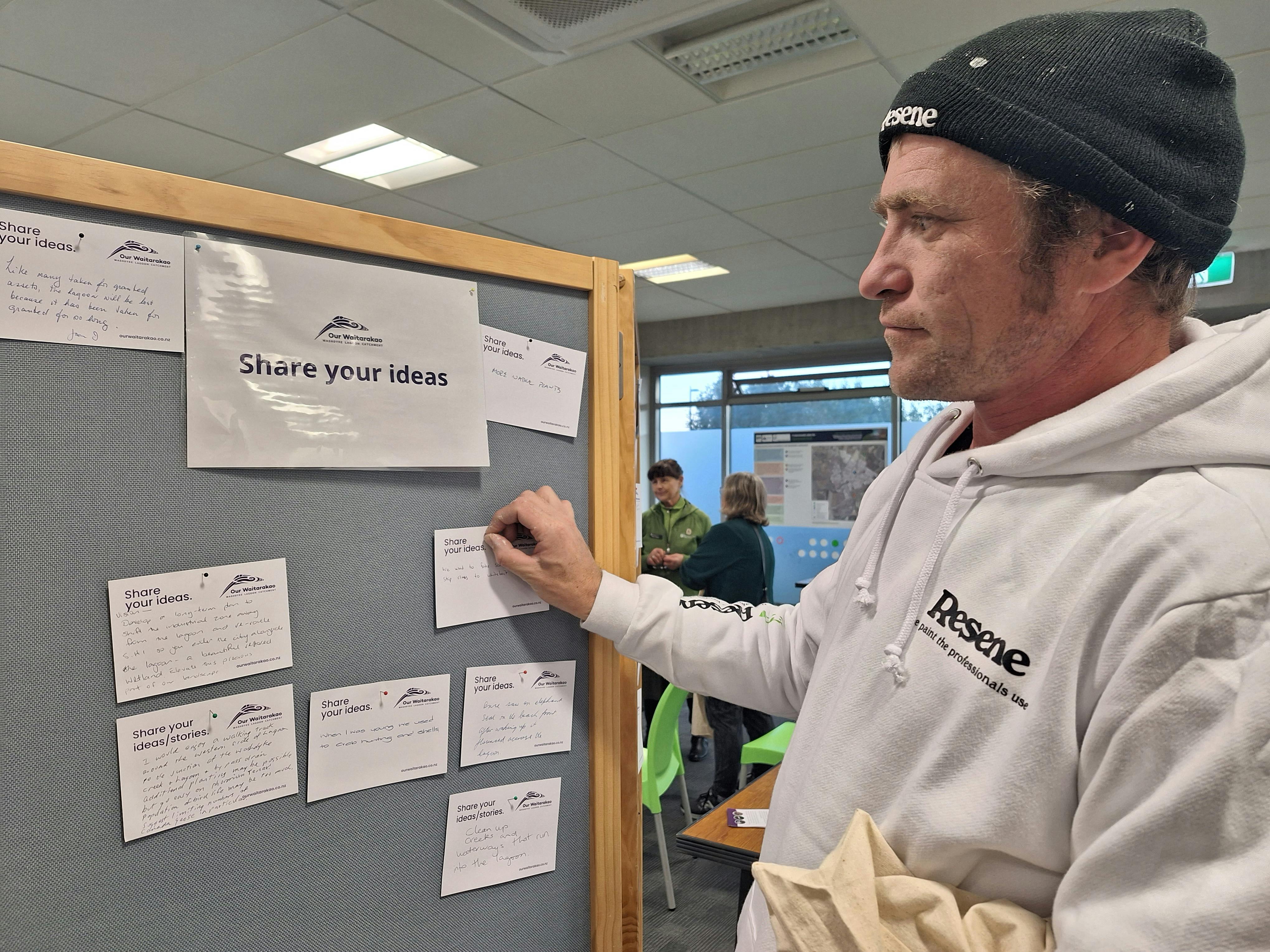
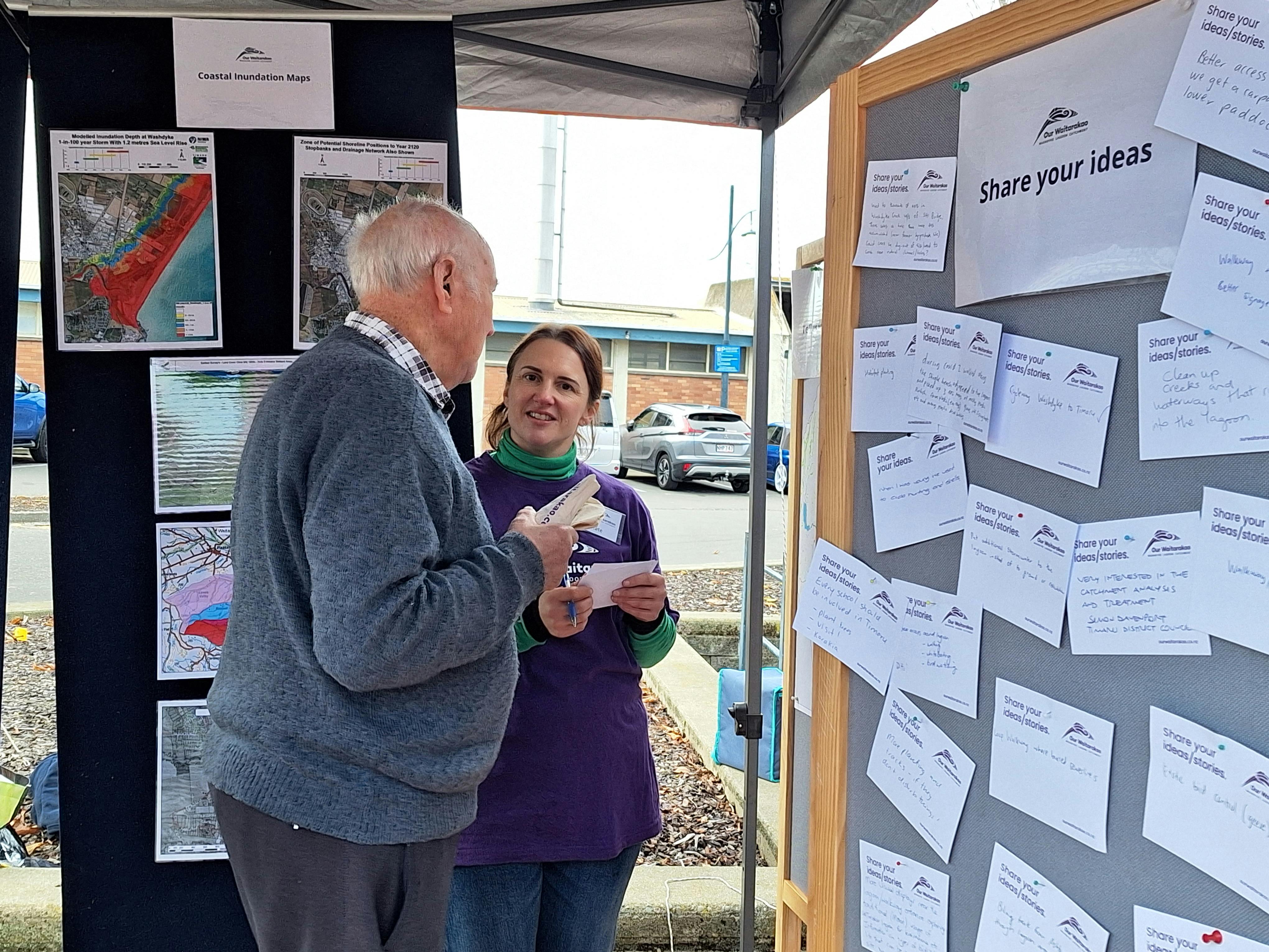
There was a great turn-out to the public drop-in events, as well as visits to the stall at the Timaru Artisan Farmers Market, and collaborative events at the local museum and Eco Centre. The community also completed 170 surveys and submitted more than 90 ‘ideas and stories’ to the project team.
Results from all feedback - including events, surveys, and additional stakeholder meetings – were overwhelmingly supportive of the creation of a joint strategy to restore the health and mauri (lifeforce) of the lagoon and catchment. This was reinforced by more than 100 people, businesses and organisations who offered to be involved in future workshops to help develop the strategy.
In the community survey, the top four areas of concern were: loss of wetland and plant habitat; declining water quality in the lagoon from urban and rural activity; erosion of the beach, lagoon and coastal land; and disturbance of bird nesting areas from motorised vehicles, humans and dogs.
There was also a lot of feedback that people have experienced litter and rubbish when visiting the lagoon as well as requests for better active transport links to the lagoon area.
You can read more detail about the community feedback received here.
Focused community engagement – workshop series
More than 40 people with a great variety of experience and backgrounds took part in one or more of a series of three half-day workshops at the South Canterbury Eco Centre in Timaru, during October and November.
Those who attended had either put themselves forward at the public engagement events earlier in 2023, or had been recommended as a community member with strong knowledge or experience within the catchment.
The workshops included presentations from the project partners, interactive activities, and feedback sessions. The participants shared their experiences of the lagoon catchment area and their aspirations for its future. They also discussed current issues and challenges facing the lagoon, such as water quality, habitat loss, flooding, erosion, and climate change, and gave feedback on actions that could be prioritised.
The qualitative feedback from the workshops will – along with information from project partners and other resources – help inform the drafting of the strategy.
What’s next - strategy development
The draft strategy – with the vision to improve the mauri (life force) of the catchment for everyone – is now being developed, informed by community feedback and expertise contributed by the four project partners.
The draft strategy will be for the whole Waitarakao Washdyke catchment area, as activity in the wider area impacts the health of the lagoon through the many streams, drains and neighbouring businesses, farms, and properties. Flooding risk and the impacts of climate change will also be considered in the draft strategy.
The draft strategy will be shared with the community for feedback in 2024.
-
Next steps - Phase Two community workshops

We have wrapped up Phase One of the Our Waitarakao project, where our team got out in the community to find out what you think is important about the Waitarakao Washdyke Lagoon catchment. We enjoyed hearing your ideas and feedback on how the area could be improved.
Conversations with the community at the drop-in events and stakeholder meetings, along with online survey submissions, indicated an overwhelming level of support towards the project. More than 100 people, businesses and organisations registered their interest to be involved in community workshops to help develop a strategy to restore the health and mauri (lifeforce) of the lagoon and catchment.
As we enter Phase Two of the project, our team will be holding three half-day workshops in October and November. The group attending the workshops has been selected to include a diverse range of individuals, groups, organisations and stakeholders to represent the Timaru community. Using this combined knowledge and insight, the feedback gathered from these events will inform the development of the draft strategy for the catchment.
Our team will keep you updated as the project develops. To stay informed follow the Our Waitarakao facebook page, or keep an eye on this website.
-
Community feedback - what you told us in June/July 2023

The South Canterbury community has provided a wealth of information, ideas and stories to Our Waitarakao – a project to help restore the health of the Waitarakao Washdyke Lagoon catchment.
The project team was pleased with the positive level of response to the project, with great turn-out to community events and visits to the Timaru Artisan Farmers Market stall, 170 surveys completed, as well as more than 90 ‘ideas and stories’ submitted during June and July 2023. There was also strong interest from businesses, landowners and groups in the area. The information gathered will be used to help inform the next steps in creating the strategy.
The wider Timaru community was very supportive of raising awareness of Our Waitarakao, co-hosting additional events to highlight the importance of improving the health of the area, including displays and activities at the South Canterbury Museum, South Canterbury EcoCentre, Timaru Library, articles in the local media, planting events and even beach clean ups.
Here’s some of what the community shared with the Our Waitarakao team, including comments (shown in italics) from survey and event participants. You can also take a look at a summary here.
Our Waitarakao Washdyke Lagoon Catchment
Results from all feedback - including events, surveys, and meetings – was overwhelmingly supportive of the creation of a joint strategy to restore the health and mauri (lifeforce) of the lagoon and catchment. This was reinforced by more than 100 people, businesses and organisations who offered to be involved in future community workshops to help develop the strategy.
“The lagoon needs to be protected from human impact. Any human benefit from the lagoon should be because it is protected and healthy, not exploited.”
People visit the lagoon for many reasons
Waitarakao Washdyke Lagoon is a special place for wildlife and mahika kai (traditional resource) gathering and it is also a popular place for recreation, education and improving our health.
From the community survey, walking and exercising are the most popular reasons for visiting the lagoon, closely followed by visiting the rockpools on the basalt reef. There were many other reasons for visiting - showing that it has many uses including birdwatching, whitebaiting, school trips and meditation.
“It is a cool place to be one with nature and look out to the sea.”
“It's a taonga for Kati Huirapa.”
“It is a breath of fresh air. It is beautiful on a stormy day, scenic, full of noise from bird chatter, waves and smells, a treasure. It is refreshing. It is utilised for bird watching, walking, fishing, photography, sunrises watching, field trips and general recreation.”
The community was also asked in the survey what specific features within the lagoon area were important to them. The top answers were:
- It's a Department of Conservation Wildlife Sanctuary to help protect endangered native and migratory birds, aquatic life and rare plants;
- The catchment has many small streams feeding into the lagoon, which are important for supplying freshwater and providing habitat for fish and other animals;
- It's part of a coastal walkway that links up with Caroline Bay;
- It provides an important link along a network of coastal wetlands in Canterbury for migratory birds and animals; and
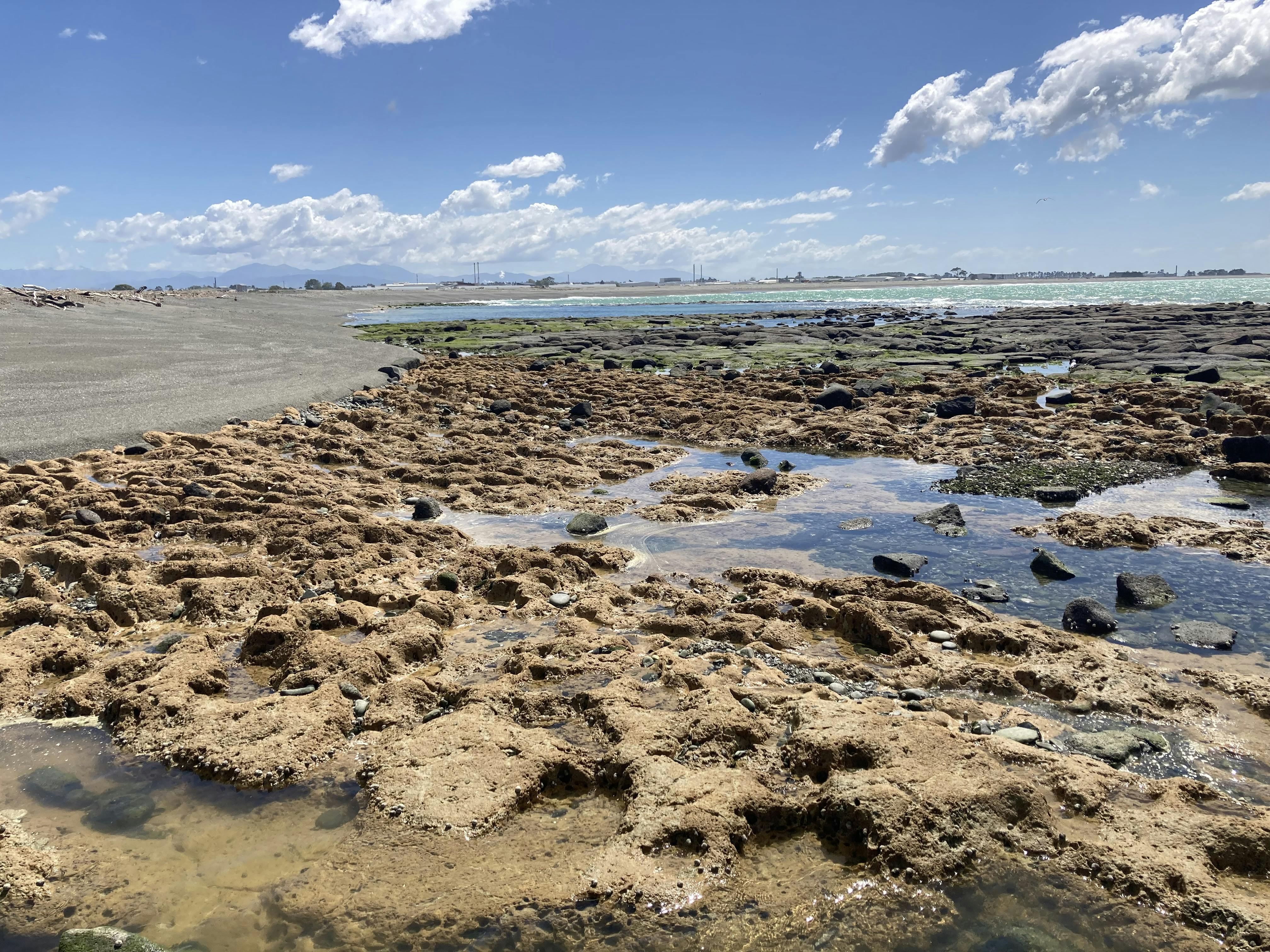
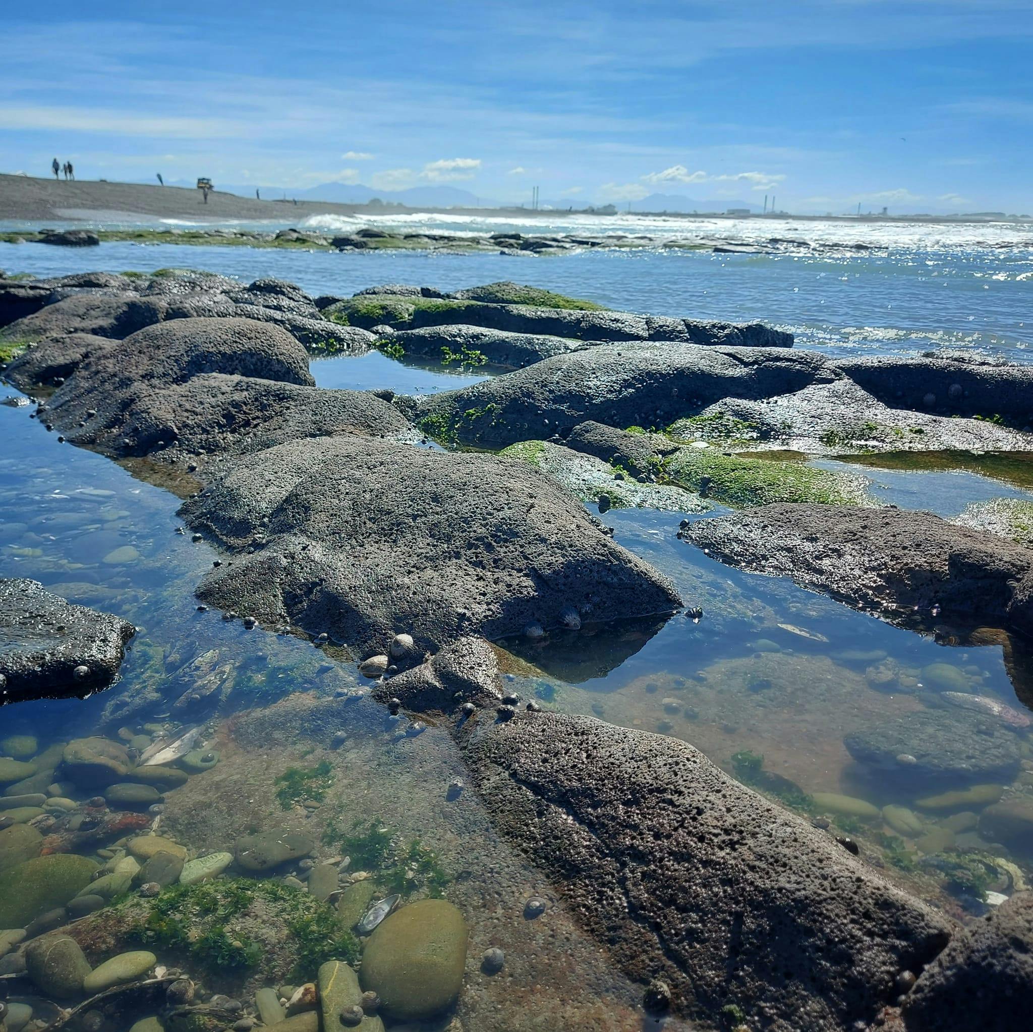
- It has accessible rockpools which people can visit to explore and look at many interesting sea creatures.
The decline of the natural environment was the key concern
Across the different types of feedback, people were most concerned about the decline of the natural environment of the lagoon and the wider catchment area.
In the community survey, the top four areas of concern were: loss of wetland and plant habitat; declining water quality in the lagoon from urban and rural activity; erosion of the beach, lagoon and coastal land; and disturbance of bird nesting areas from motorised vehicles, humans and dogs.
There was also a lot of feedback that people have experienced litter and rubbish when visiting the lagoon.
“(It is) particularly important for humans, animals/birds to cohabitate in safe, healthy and secure environments. From living in close proximity to the lagoon I became very interested in the abundance of birdlife. Somehow we need to stop its decline, particularly not allowing it to get any smaller.”
People want improved access to the lagoon area, better information and education
Feedback from the community showed a demand for better access to the lagoon area as well as increased educational signage and information. For those surveyed that had not visited the lagoon, the biggest reason was because they didn’t know how to gain access (there is foot access from Bridge Rd, the Coastal Path (currently closed) and Aorangi Road). Some people also commented that they didn’t know that the lagoon was a wildlife sanctuary or accessible to the public at all.
There was also strong interest in improving walkways and cycleways in the area, as well as linking these to other key active transport networks.
The importance of the basalt reef rock pools, as an educational opportunity and special place, was also highlighted in many comments.
“With a wetland area so close to a city centre, I think there should be a focus on conservation and restoration, with regional plans reflecting this over industrial and agricultural interests.”
“More visual displays near the lagoon/walkway entrance explaining traditional (Māori) usage of Waitarakao Lagoon for kaimoana etc. Information on types of birdlife/wildlife that can be seen, near the site too.”
“I had no idea of this wonderful taonga so close to Timaru. Always thinking it was part of the Washdyke industrial area. Keep up the good work raising awareness of this!”
“The ‘Our Waitarakao’ project is a great opportunity for people to see the importance of wetlands in the past and for the future. Schools are interested in their local area and this project fits in nicely with kaitiakitanga – being guardians of natural sites and the organisms that live there. Climate change and the effects on our coasts is also important for our young people and their whanau to learn about. This project can help highlight this information”. - Keely Kroening, South Canterbury Museum Educator.
Business, industry and landowners are eager to improve the health of the area
Engagement with businesses, industry and landowners indicated a high level of interest in getting involved in future actions to improve the catchment – and many already had ideas about how they could make a positive difference to the environment.
Thirteen stakeholder meetings, including with farming catchment groups, irrigation schemes, businesses and non-profit organisations, were held during the engagement phase to introduce the strategy and gather ideas and information. All meetings were positive and highly productive, with a willingness from all to contribute ideas, feedback and knowledge of the catchment area – including thoughts on flood protection, enhancing wetlands and environmental compliance. The meetings also led to requests for future presentations to other interested groups.
“Establish a sustainability collective made up of business/industry and other key stakeholders to support the delivery of agreed science-based environmental outcomes and deliver on business sustainability goals.”
Next steps for Our Waitarakao
The project team and its steering group will now use the feedback and knowledge gained through this engagement with the community to help inform the next steps of creating the strategy. This will include some additional focused community and stakeholder workshops looking at different ideas for improving the health of the area, as well as how to measure success. A draft strategy for the lagoon catchment will then be drafted and available for feedback in the first half of 2024.
About Our Waitarakao
'Our Waitarakao' Washdyke Lagoon Catchment strategy is a partnership between Te Rūnanga o Arowhenua, the Department of Conservation, Environment Canterbury, and Timaru District Council to plan for the area’s future by addressing problems with water quality, wildlife habitat, flooding, erosion, and the impacts of climate change.
The strategy will be for the whole catchment area, as activity in the wider area impacts the health of the lagoon through the many streams, drains and neighbouring businesses, farms, and properties. There are also emerging issues across the catchment area with flood protection and the impacts of climate change that are likely to be part of the strategy.
For more information and to join the e-newsletter, click the 'Stay Informed' section of this webpage.
-
Our stories
Young Farmers' planting day
10 July
More than 1,000 natives were planted in the Waitarakao catchment on Saturday 8th July, thanks to a collaboration with local farmers Kevin and Karen O’Kane, and the contestants from the Young Farmer of the Year competition and their families.
A drizzly morning did not deter planting efforts, with 60 people getting involved. We look forward to watching these plants grow and enhance the biodiversity of this catchment.

Community involvement ramps up
15 June
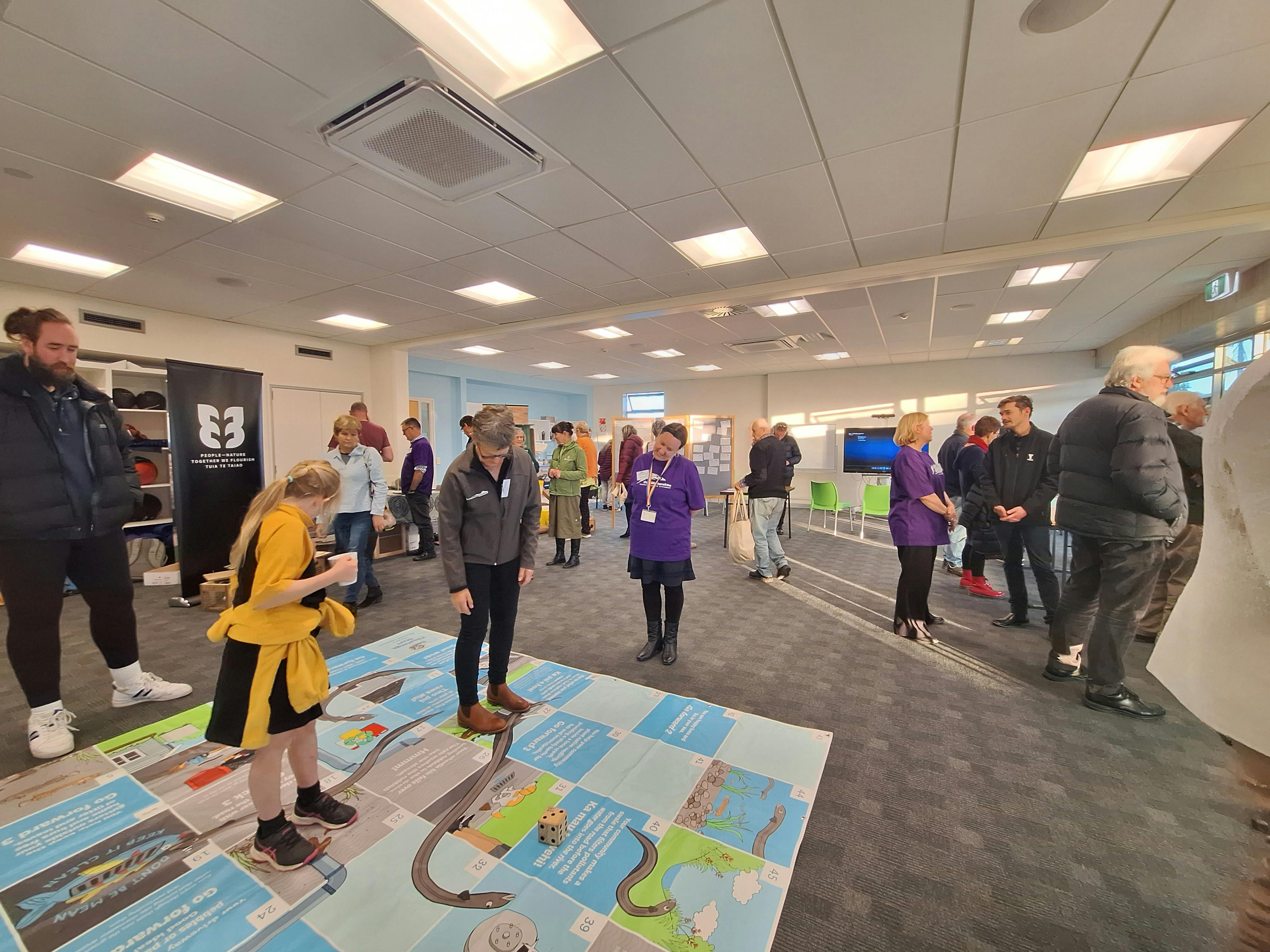
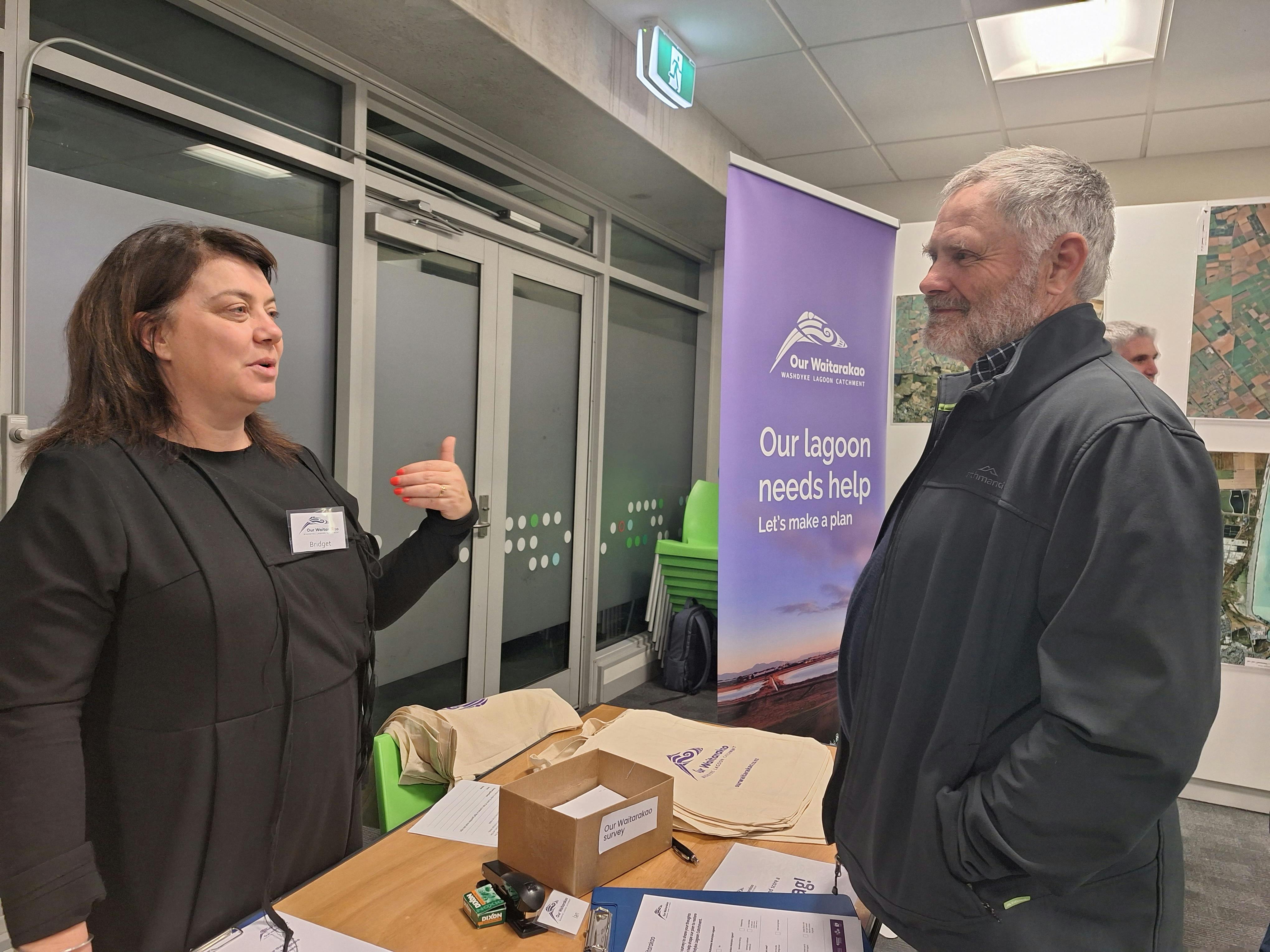
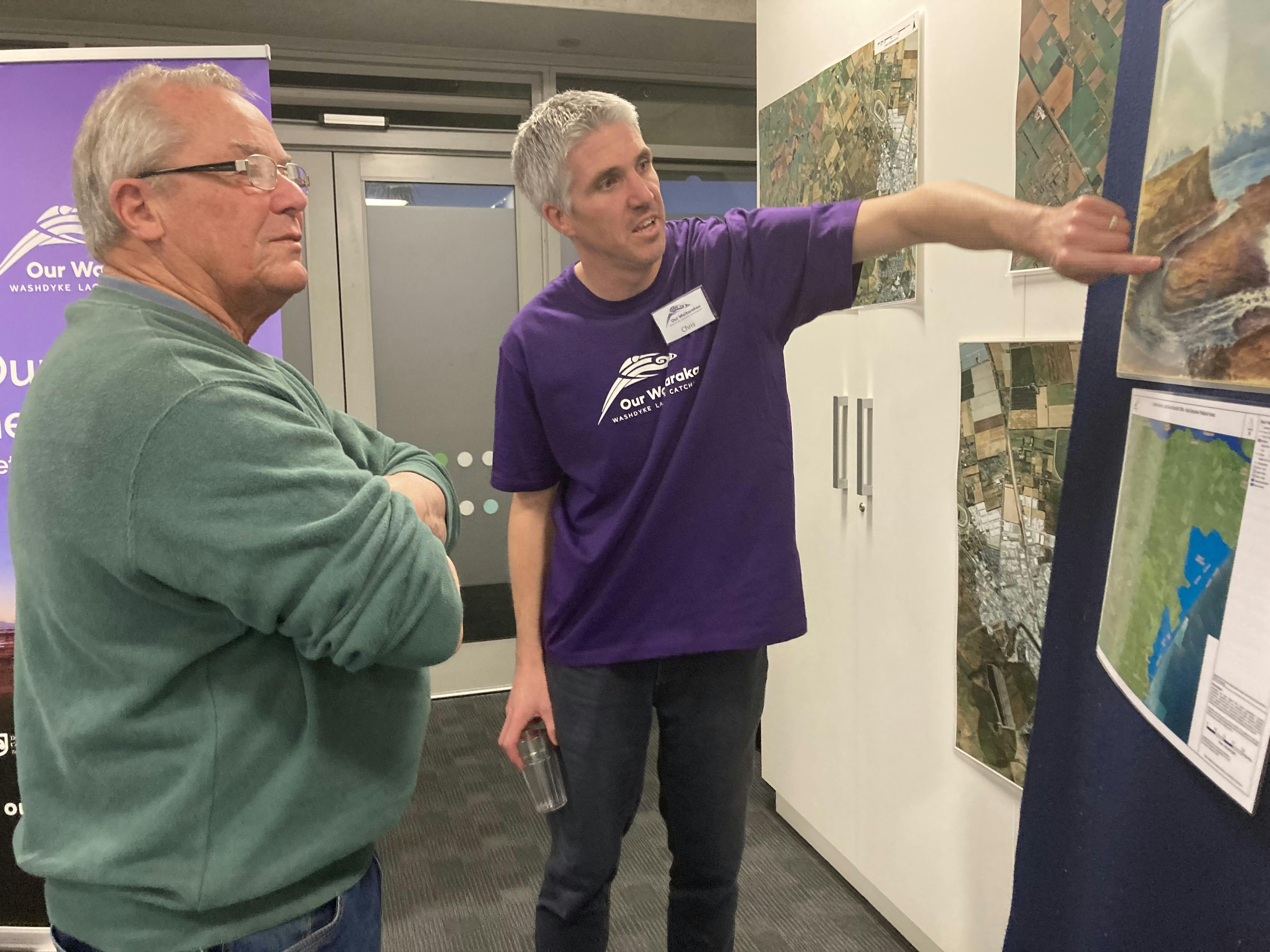
More than 40 people attended a drop-in event at C-Bay Caroline Bay Trust Aoraki Centre on Tuesday evening (13 June). This was a chance to chat with the team, ask questions, and share stories and ideas for the future of the threatened coastal lagoon, and wider catchment.
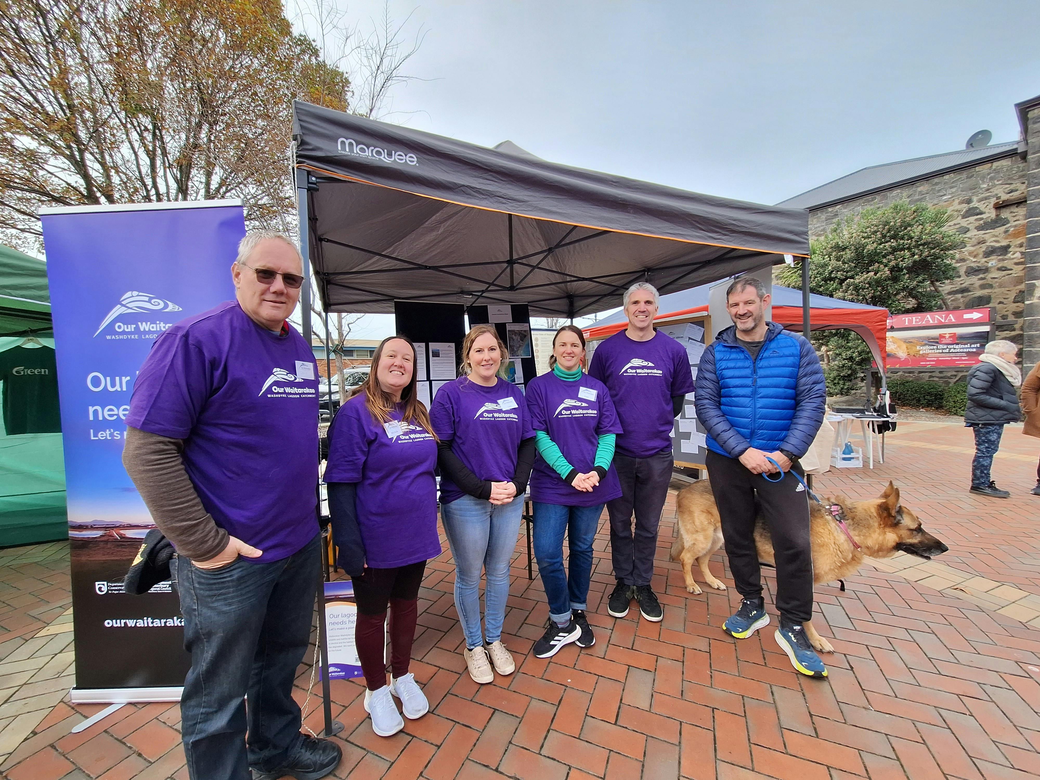
It followed a similar event at the Timaru Artisan Farmers Market on Saturday. Many braved the chilly morning to find out more the project – and the free, Our Waitarakao bags were a bit hit.
Our Waitarakao project lead, Chris Fauth, says some great conversations are being had - kicking of several months of engagement.
“We’re really enjoying hearing what people like about the environment at Waitarakao. There’s a wide range of interests, including around natural hazards, water quality and environmental quality – both in the lagoon and up the streams.
“What’s impressed me is we’ve had lots of people asking what actions they can take, and how they can get involved.
“This is the start of what will be a big process, and it’s been really positive so far.”

-
Strategy process, scope and objectives
 Over the next year – and with multiple opportunities for input from the community and stakeholders – the Our Waitarakao Washdyke Lagoon Catchment strategy will be created for the whole catchment and will outline the actions needed to ensure a healthy future for this area.
The vision of the strategy is: to restore the mauri (health/lifeforce) of Waitarakao for everyone.
Our Waitarakao is guided by both a Working Group and Steering Group, made up of key staff and representatives from partner organisations.
Collectively, we have agreed the process and scope of the strategy, and also come up with proposed objectives to achieve the vision.
Strategy process

Strategy scopeWe want to work with the community to identify suitable and realistic options for restoring the health of the lagoon, at the same time as planning for change. The strategy will deliver both short and longer-term options to proactively address issues impacting the catchment and anticipate future actions.
There are policies and legislation already in place for Waitarakao Washdyke that you may be aware of - such as Environment Canterbury’s Land & Water Regional Plan, Timaru District Council bylaws, the Wildlife Act 1953, and Mātaitai Reserve bylaws, to name just a few. Our Waitarakao Washdyke Lagoon Catchment Strategy will consider existing legislation and link in with other relevant plans being developed - to identify what else is needed to ensure a better future for the lagoon.
Once the strategy is created and approved, it will be implemented into a non-statutory plan, with functional stages, actions, and requirements for future funding. Information gathered as part of the Our Waitarakao strategy will help inform future local and regional planning processes.
Our Waitarakao will be:
- an opportunity to carefully consider many issues including natural hazards and climate change adaption, mahika kai/resource gathering, water quality, biodiversity and wildlife habitat, ecosystem health, land use, access and education
- for the whole catchment including the lagoon, nearby coastal flats, farmland and streams
- driven by a partnership between Department of Conservation, Environment Canterbury, Te Rūnanga o Arowhenua and Timaru District Council, with representation from the Orari Temuka Opihi Water Zone Committee on the Working Group
- a process where all members of the community are given opportunity to contribute ideas and feedback across multiple phases of engagement
- about planning for the future but does not include implementation. It will form the basis of a subsequently-developed implementation plan
- a non-statutory document, but some of the options and outcomes are likely to assist partner agencies to meet statutory requirements
Proposed objectivesHere are proposed objectives for Our Waitarakao Washdyke Lagoon Catchment. These may be refined to reflect community feedback, before being confirmed later this year.
- Enable customary harvest of food/resources that were traditionally gathered from the area in and out of the water. Acknowledging and improving access rights for the purpose of mahika kai.
- Ecological revitalisation or restoration to achieve a thriving, healthy, functioning ecosystem.
- Proactive identification of current and future climate events and hazards. And specifically plan how we will adapt to coastal hazards to achieve the other objectives of the strategy.
- Advocate that new and adapted infrastructure is determined by climate change with mauri (health and lifeforce) of Waitarakao at its forefront.
- Plan for the management of freshwater flooding that enters this catchment for the benefit of the mauri of Waitarakao and the values of this strategy, as well as for the protection of people and property.
- Understand how the hydrology/water balance of the whole catchment impacts our ability to achieve the values and objectives of this strategy. Where necessary action change to achieve objectives.
- Enhance community understanding and awareness of the Waitarakao Washdyke environment, enabling all our community to interact with the catchment through promotion, learning opportunities and appropriate physical access.
You can give feedback on these proposed objectives by taking our survey.
-
Summary of the catchment area

Waitarakao Washdyke Lagoon is a brackish, shallow, coastal lagoon north of Tīmaru on Kā Poupou-a-Rakihouia (the South Canterbury coastline).
It is a nationally significant wildlife sanctuary for birds, plants, and fish. It is also a special place for mana whenua, for local people to visit and explore the rock pools, and for visitors from all around the country - including birdwatchers and geologists.
The wider catchment includes important infrastructure, business and industry, mātaitai reserves, streams and rivers, farming and residential homes.
The lagoon catchment is vulnerable to natural hazards, climate change impacts, and land-use pressures, which has led to an ongoing decline in ecosystem health and increase in hazard risks.
Waterways flowing to the lagoon
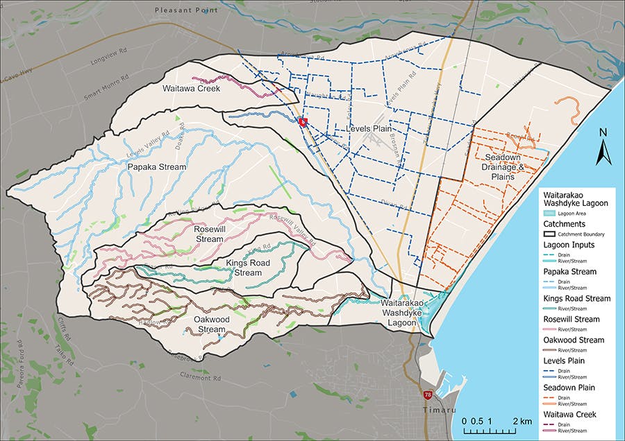
The lagoon is a well-known part of Washdyke, Timaru, but the strategy will look at all the areas around it that form the overall catchment. This includes three major streams; Papaka, Rosewill, and Oakwood, and several small tributaries (stream offshoots) which merge into Washdyke Creek before entering the lagoon environment.
The catchment also includes the Seadown Drainage Ratings District – farmed land extending north along the coastline from the lagoon – and parts of the Levels Plain, which contains groundwater, local run-off and other land use that affect parts of the catchment.
The industrial area contains a mix of small business, larger commercial and industrial operations, and large-scale storage facilities. Stormwater run-off following rainfall discharges into Waitarakao Lagoon (in some cases via Washdyke Creek) through a combination of piped or open drains.
The ongoing impacts of land use in the catchment mean we need to collectively take action to make a plan to restore the health of the lagoon and catchment.
-
Natural environment
 The Waitarakao Washdyke Lagoon Catchment is part of a threatened network along the Canterbury coast of lagoons, estuaries, swamps, wetlands, scrub, and remnant patches of native bush.
It became an official Wildlife Sanctuary Reserve in 1907 and is home – or a stop-off point – to many species of birds, including the tarāpuka/black-billed gull, ngutu pare/wrybill, taranui/Caspian tern, and poaka/pied stilt. Waitarakao is also home to native freshwater species including īnaka/whitebait and the long-fin eel (tuna) which is New Zealand’s largest native freshwater fish. Longfin eels are a taonga species for Māori and swim thousands of kilometres out to near the Tonga trench to complete their life cycle.
Many of these types of coastal wetland and lagoon environments have been lost in recent history – and those remaining are critical mahika kai environments and unique and important habitats for a range of wildlife and flora.
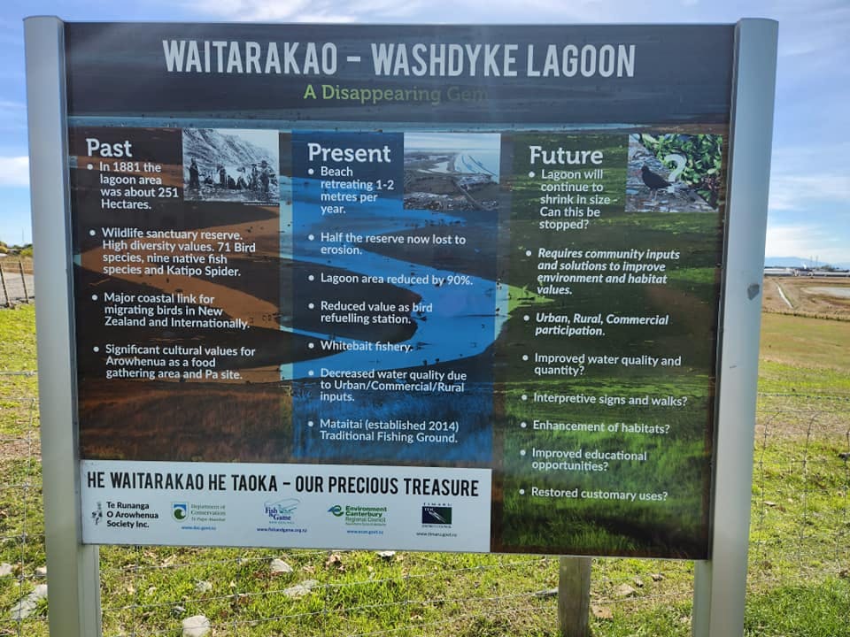
Waitarakao Washdyke Lagoon was historically much larger than it is today, with estimates suggesting in 1881 it was around 250 ha in size – it is now is less than 50 ha due to changing land use and development. Other parts of the catchment also contained large wetland or swamp habitats that have subsequently been drained or destroyed through historic land-use.
The lagoon’s shrinking size means that it’s becoming a challenging place for birds to nest, fish to breed, and delicate plants to grow.
There is work already underway by community groups and organisations to help control predators and improve habitat, but there is still a lot of work to do.

Caption: A rare, historic painting of Waitarakao Washdyke Lagoon in 1874
Mahika kai
Waitarakao was once a renowned kāinga mahika kai area for mana whenua and the wider Ngāi Tahu iwi and part of a busy coastal travel route between lakes Wairewa and Waitarakao (Washdyke Lagoon) and then further south.
Waitarakao and the nearby pa was a popular stop-off point for these trips. You could travel light – as there was kai available to catch and eat all along the way.
There was a tarakihi breeding area near the lagoon – alongside other stocks of fish/kaimoana including pātiki, shark, kanakana, kina, paua, cockles and crayfish.
There were also special plants such as kōareare - the edible rhizome of raupō, patete (seven finger or umbrella tree) and karengo sea lettuce.
These are now hard to find – or not there anymore.
Despite the lagoon and surrounding parts being officially recognised as mātaitai reserves, overfishing and erosion have had an adverse effect and mahika kai resources have degraded.

Caption: Another historic painting. Handwritten caption reads: Washdyke Lagoon near Timaru NZ, Oct 1874 - Commencement of Ninety Mile beach
(Ninety Mile beach refers to a travel route used by mana whenua and wider iwi, extending from Te Roto o Wairewa/Lake Forsyth - in Banks Peninsula, to Waitarakao Lagoon)
Water quality
The water quality in the Waitarakao Washdyke Lagoon and nearby streams is poor and not meeting some standards.
Polluted stormwater is contributing to poor water quality in Washdyke waterways. This impacts on the relationship of Te Rūnanga o Arowhenua with the waterway and Waitarakao Washdyke Lagoon. Stormwater can carry contaminants that impacts the safe consumption of food gathered from the waterways.
High nutrient concentrations (nitrogen and phosphorus) have been found in the waterways. This is consistent with nutrients from agricultural runoff and surrounding urban activities in the areas. Elevated nutrients can result in algae growth that can harm aquatic life.
High concentrations of metals (arsenic, zinc and lead) have been found accumulating in the waterways. These can be attributed to surrounding industrial and urban activities in the area, vehicle movements and roofs/building materials.
Environment Canterbury’s Land and Water Regional Plan and other key pieces of planning legislation require improvements to water quality in the catchment. Timaru District Council’s stormwater management plan consent, and farming land use consents, will help drive improvements - but other initiatives will also be needed.
-
Water flow

Waitarakao Washdyke lagoon and catchment - once a thriving network of streams, swamps, and wetlands - has been highly modified over the years. The way in which water moves through the catchment has therefore changed and we now need to review how it will work best in the future.
Drainage
Farmland nearest the coast (east of Seadown Road) is supported by a network of drains referred to as the Seadown Drainage Rating District. These drains all eventually feed into the northern end of Waitarakao Washdyke Lagoon and during periods of low or ‘normal’ rainfall this drainage scheme provides the only regular input of freshwater that flows directly into the lagoon.
The Seadown Drain is the largest of this network of drains, and flows immediately on the landward side of the coastal stopbank. This drain supports farming to the north of the lagoon and is part of the mātaitai. Its fate is tied to that of the coastal stopbank; when the stopbank is shifted in response to coastal erosion the Seadown Drain must also shift in location. Changes to the drainage scheme will change the whole lagoon’s water flow (hydrology).
Flows from streams
The freshwater stream flow input to Waitarakao Lagoon is via Washdyke Creek, which crosses beneath State Highway One. Washdyke Creek is the downstream reach of a number of tributary catchments including Papaka, Rosewill and Oakwood streams.
These stream tributaries extend as much as 10–12 km west and northwest of the lagoon. The upper parts of the streams are rolling downs or low hill country that is farmed with isolated residential development. The streams exit the rolling hill/gully type parts of their catchments on the Washdyke Flat (traversed by Washdyke Flat and Cartwrights Roads) up-plain of the industrial area. This flat land is riddled with old watercourses and depressions, which will carry flood flows during heavy rainfall events.
Washdyke Creek (during 'normal' conditions) does not flow directly into Waitarakao Lagoon but is picked up by a ring drain circling the outside of the lagoon and taken directly to the piped outlet point to sea at the south end of the lagoon. When flows in the creek are slightly elevated after rainfall, the creek overtops the ring drain and discharges straight to the lagoon.
Stormwater inflows
Stormwater run-off following rainfall will discharge from the residential, commercial, and industrial development land into Waitarakao Lagoon (in some cases via Washdyke Creek) via a combination of piped or open stormwater drains. In major rainfall events, stormwater flooding can impact lower parts of the developed catchment.
Seawater inputs
Seawater influences the catchment in multiple ways. High tides push up through the piped lagoon outlet and ring drain and lift the lagoon level (at low tide the lagoon can mostly empty out in a reverse of the same process). In moderate coastal storm/high swell events the gravel barrier between the lagoon and sea can be overtopped and waves will push seawater into the lagoon filling it up. And lastly, in larger/extreme coastal events, seawater can breach or overtop the stopbank to the north (as well as overtopping the gravel barrier) causing more widespread flooding of rural and/or industrial land.
In any situation where there is an excess of water due to seawater overtopping, heavy or prolonged rainfall (or river and stream flooding) the lagoon will rise. When the lagoon is at high levels, stormwater discharges will back up in the industrial area and the Seadown Drain system will cease flowing to the lagoon and floods. This situation can be alleviated by either a natural or mechanical breach of the gravel barrier to lower the lagoon level (but only if sea conditions allow this).
Piped outlet
The catchment currently contains just a single outlet for discharging water to sea; a pipe at the south end of the lagoon. This means all water in the catchment must pass through the lagoon area in its journey to the ocean – including industrial stormwater and farm drainage. The pipe’s location has impacts on the reef environment, and its height above sea level controls the lagoon level and enables the Seadown Drain scheme to function.
Sea level rise and coastal erosion threaten the outlet’s ability to function as it does currently. Changes to the outlet will have other significant effects on wider catchment hydrology.
-
Land use - residential, farming and industry

Most of the catchment area is rural land with a range of farming activities, as well as lifestyle blocks.
The inland part has rolling hills that feed onto generally very flat farmland. It's traversed by numerous stream tributaries, drainage and other channels and depressions.
The smaller, more densely developed part of the catchment houses a major commercial and industrial hub for Timaru, small businesses, residential areas, critical infrastructure, and the lagoon itself.
With one exception, up until the early 1970s the Washdyke industrial area was still entirely rural pasture land and low land on the fringes of Waitarakao Lagoon. Since the late 1970s and early 1980s, the industrial and commercial hub has grown rapidly into one of the main industrial and commercial hubs of the Timaru district, and economically, is regionally significant.
The industrial area contains a mix of small business, larger commercial and industrial operations, and large-scale storage facilities. Some businesses directly link into the port via the railway which extends through the area. The industrial area contains critical infrastructure including State Highway One, the Main South Railway Line, and Timaru’s main wastewater treatment ponds.
The industrial centre of Washdyke is protected from freshwater flooding from Washdyke Creek by a flood protection scheme including stopbanks.
The catchment also contains some higher density residential development. The densely developed part of the catchment discharges stormwater into the lagoon, and relies on the lagoon for a natural buffer against sea or freshwater flooding. In future, this part will become increasingly at risk of natural hazards like coastal inundation and erosion.
Residential areas located on the west side of State Highway One which, although elevated above most of the catchment, discharge stormwater to Waitarakao Lagoon and Washdyke Creek.
There are also smaller pockets of residential development within the commercial and industrial areas.
Timeline and key dates
-
Early community feedback
Our Waitarakao Community feedback 2023 has finished this stageWe are at the start of making a plan to restore Waitarakao Lagoon Catchment. Please complete the community survey and share your knowledge and stories.
-
Options and ideas - October/November 2023
Our Waitarakao Community feedback 2023 has finished this stageWe are discussing different options and ideas that could be included in the draft plan. We will bring some ideas to the table and get your input before we draft the plan.
-
Draft plan - mid 2024 (current stage)
Our Waitarakao Community feedback 2023 is currently at this stageWe will share the draft plan for the restoration of the Waitarakao Washdyke Lagoon Catchment with the community for feedback.
-
Final plan - 2024
this is an upcoming stage for Our Waitarakao Community feedback 2023The final plan will be shared here. This may include recommendations for future action and next steps for how the strategy should be implemented.
Videos
-
 Click here to play video
Wrapping up a busy year
A recent series of workshops completed the key activities for 2023.
-
 Click here to play video
Summary of Phase One engagement strategy
A summary of information, ideas and stories, shared by the community.
-
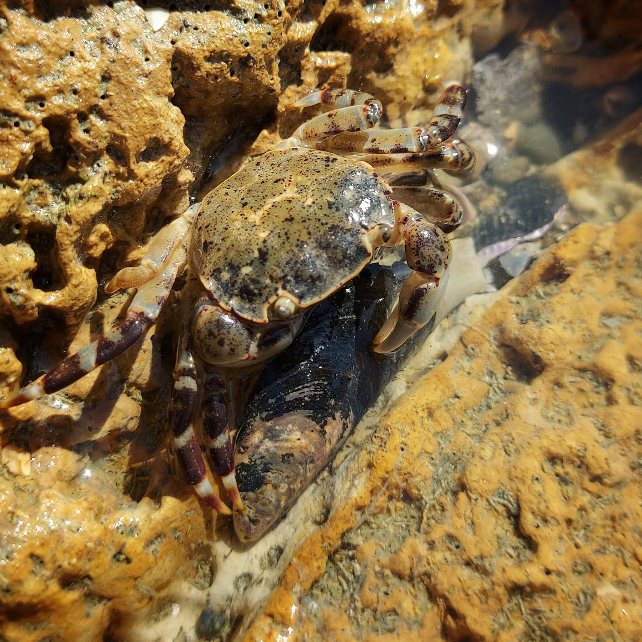
Click here to play video This Timaru local came across an interesting creature at Waitarakao Lagoon
-
Click here to play video South Canterbury Eco Centre - Waitarakao display Alice from Eco Centre talks us through their Waitarakao display
-
 Click here to play video
Waitarakao Lagoon exhibition tour with Keely Kroening from South Canterbury Museum
Keely guided us through the recently showcased Waitarakao Lagoon exhibition
-
Click here to play video The Breeze interview with Chris Fauth - Our Waitarakao Project Lead
-
 Click here to play video
Planting day at O'Kane family farm in the Waitarakao/Washdyke Catchment.
FMG Young Farmer of the Year contestants help out at a planting day in the Waitarakao/Washdyke Catchment
-
 Click here to play video
Waitarakao Washdyke Lagoon – key features and issues


