Reviewing flood protection costs in Ashburton
Consultation has concluded
We are responsible for flood protection and recovery work across Canterbury/Waitaha. This work is funded mostly through rates from residents in ‘river rating districts’.
We manage 59 such river rating districts. Each district has a scheme of work to reduce flooding and erosion through building and maintaining stopbanks, planting at river edges, and clearing riverbeds of trees or weeds that obstruct or divert river flow.
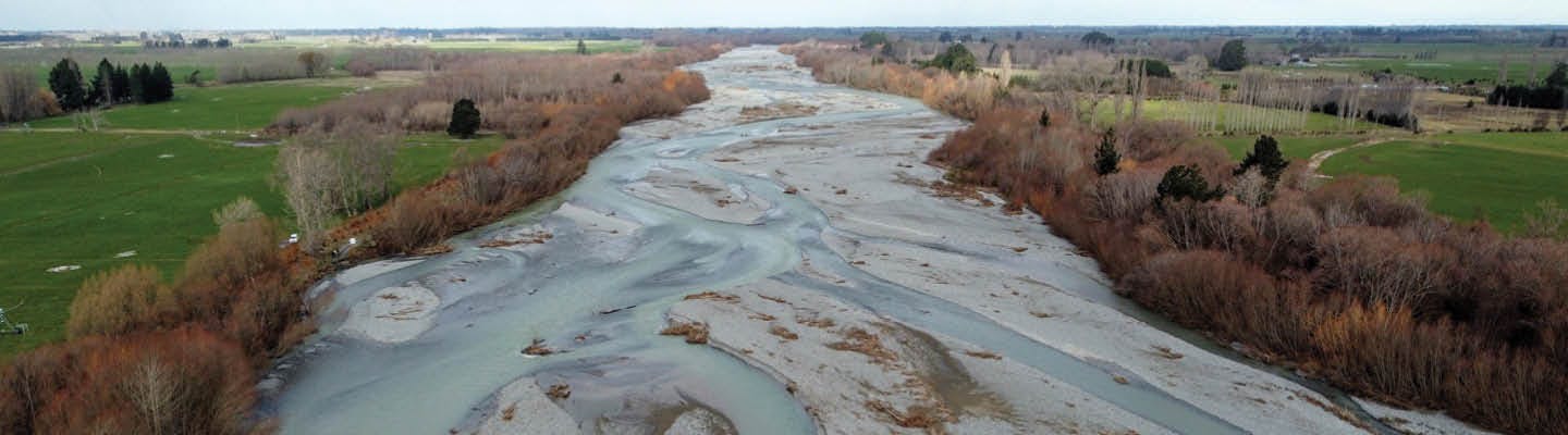
The Ashburton River rating district covers land along the length of the Ashburton River /Hakatere from the foothills to the coast.
Funding flood protection through rates
If you live in the Ashburton River rating district part of your Environment Canterbury rates bill goes towards maintenance of the flood protection scheme. This work helps protect you, your home, land or business, and essential infrastructure including roads, bridges and power lines from flooding and erosion.
Within the district, the amount of river rates you pay depends upon the capital value of your property and the risk and benefit to your property.
Why are we making a change?
The current river rating classes have been in place for about 27 years. Things have changed since then, we’ve upgraded parts of the scheme around Ashburton and Valetta and we’ve learnt more about where the highest risks and benefits are.
Combining the benefits to the community, latest flood modelling, and the effects of the May 2021 flood, we are restructuring the rating classes. This includes reducing the number of rating classes from 13 to 6, and including some properties that now receive protection from flooding but don’t currently contribute. These changes reflect more appropriately the benefit to residents of the flood and erosion protection.
If you have questions about the proposed rates reclassification in Ashburton River/Hakatere, let us know. Enter your question in the box below and we'll get back to you as soon as possible.