Background
Discussions to develop high-level masterplans for our parks and rivers have been ongoing for a number of years. The Rangiora Reach area was identified as a priority project to work on in collaboration with Waimakariri District Council to ensure that cohesive landscape planning was occurring both across agencies in the Rangiora Reach area.
In 2020, tree removal took place between the primary and secondary stopbanks in the Ashley Rakahuri Regional Park adjacent to Cones Road.
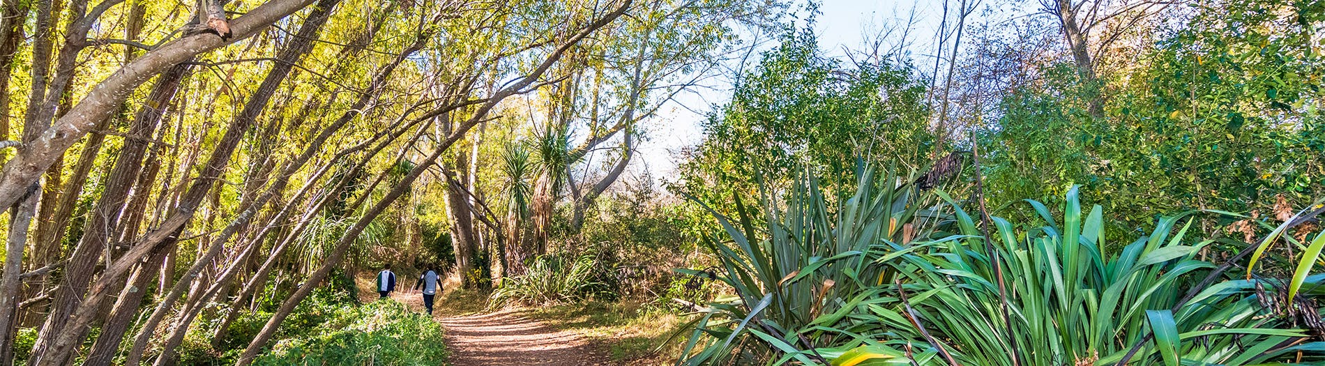
Area inbetween primary and secondary stopbank adjacent to Cones Road
At this location, a weak point is formed where the primary stopbank reduces the effective width of the Rakahuri from one kilometre to around 300 metres to fit under the bridge. This narrowing of the river increases the water velocity and, with it, the erosion risk. To mitigate this risk, we installed a secondary stopbank.
Trees were later felled in between the primary and secondary stopbanks to ensure that the area can effectively function as a floodway if the primary stopbank fails – passing flood water around the road bridge and returning it to the riverbed downstream.
Without the secondary stopbank and effective floodway, if the Rakahuri flooded, these flood waters were likely to flow directly through Rangiora township resulting in widespread damage. In addition to the flood protection need, the felled trees were also in poor health – rotten in the middle and unstable/hazardous to park users.
Following the tree removal, the community expressed the high amenity, nature and recreational value they placed on this area. Thus, the concept of the Rangiora Reach Masterplan was born in order to ensure future planning of the area took into account these values.
Image: Area inbetween primary and secondary stopbank adjacent to Cones Road

Thank you for your contribution!
Help us reach out to more people in the community
Share this with family and friends