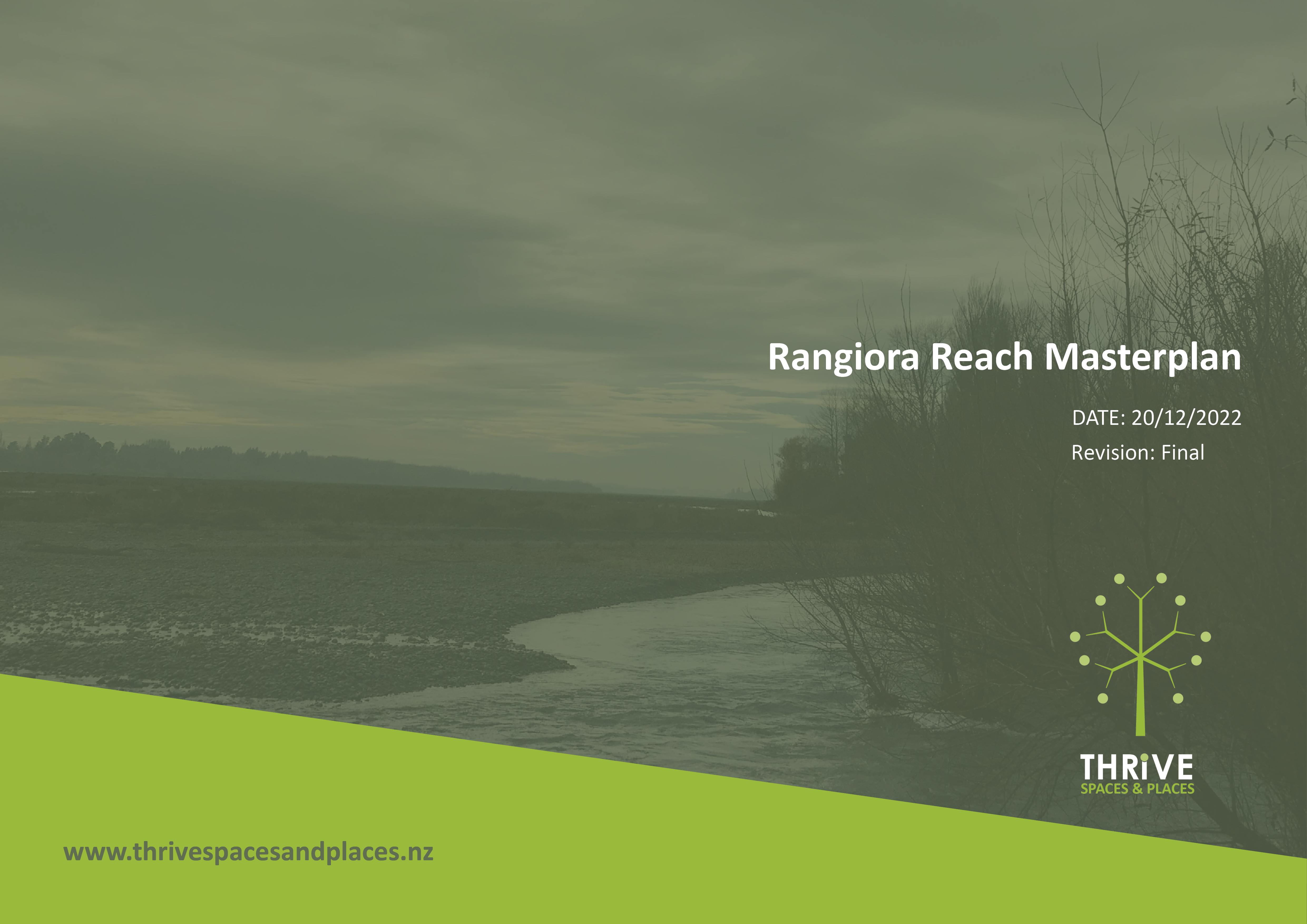
Rangiora Reach Masterplan highlights future opportunities for part of Ashley River/Rakahuri
We’re pleased to be able to share the Rangiora Reach Masterplan, which aims to deliver a landscape plan for a section of the Ashley River/Rakahuri.
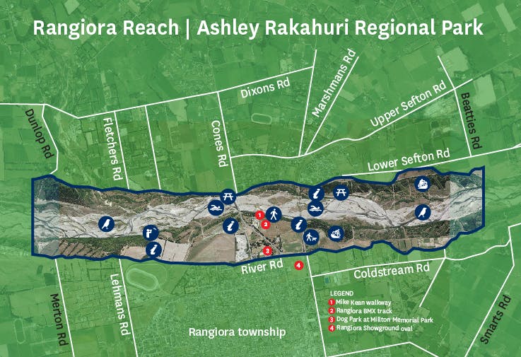
The masterplan will guide future development and management of Rangiora Reach – the part of the awa/river from Dunlops Road to Beatties Road on the north side near Rakahuri, and Merton Road to Smarts Road on the south side near Rangiora.
It will be used by agencies managing this land – Environment Canterbury and Waimakariri District Council, in collaboration with mana whenua and the community.
The masterplan reflects around two years of conversation, consultation, feedback, workshops and hui we’ve had with the community. We hope it reflects people's values and priorities, but also helps meet the need to keep them safe through a changing climate.
The values and priorities included throughout the development of the masterplan include:
- Significance to Ngāi Tūāhuriri
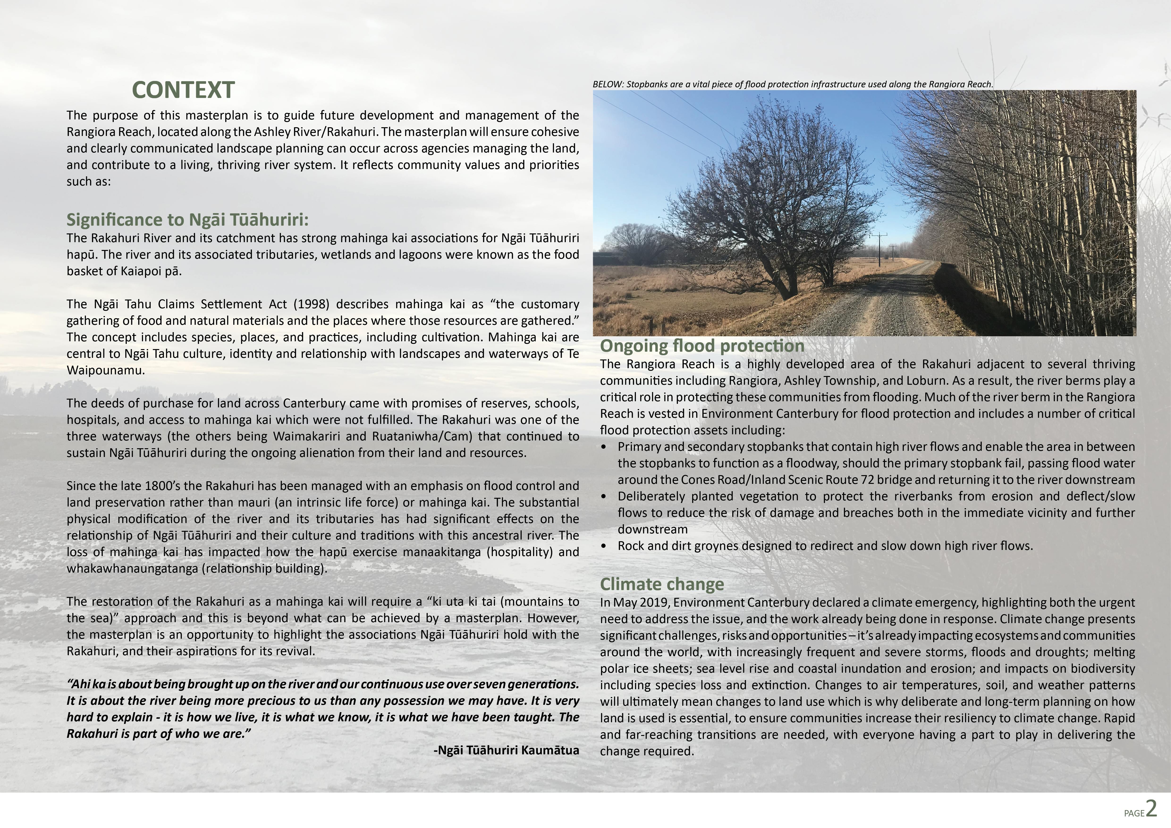
- Ongoing flood protection
- Climate change
- Landscape and natural character
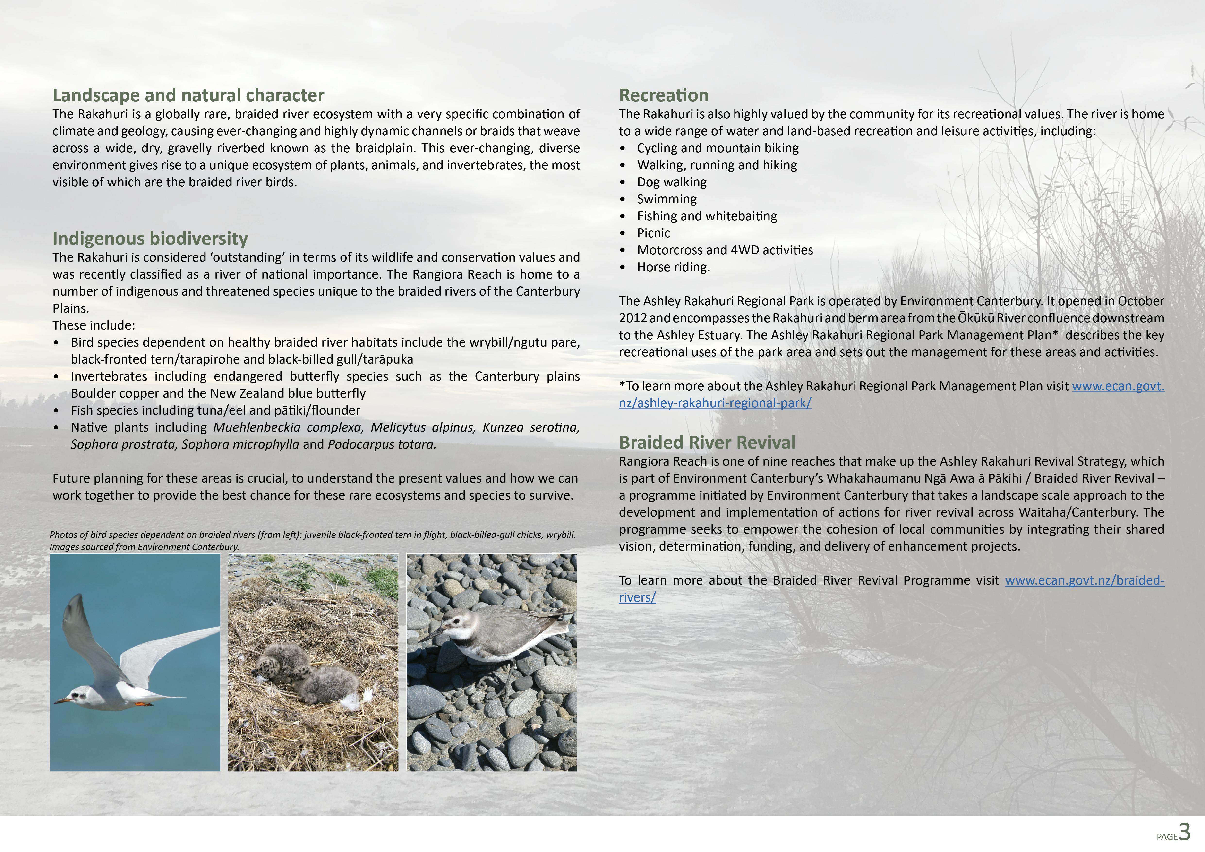
- Indigenous biodiversity
- Recreation
- Braided River Revival
The braided river revival team is happy to be able to deliver a plan to the community that balances their values and priorities alongside flood protection and climate change too.
As our environment changes, it’s important to shape future planning in a way that protects both the ecosystems within that environment, but also the people who call that place home.
While there were some non-negotiable structural elements like flood protection, we hope the masterplan will help to set the vision as we work towards achieving a living, thriving awa.
Continued conversations and future opportunities
“We’d like to thank everyone who took the time to let us know their thoughts,” says Greg Stanley, Regional Lead for Braided River Revival.
“Although we haven’t been able to offer increased amenities for absolutely every suggestion we received, the conversations around those suggestions will continue and we look forward to identifying future opportunities to enhance them in this reach, or along other areas of the awa,” he says.
With an agreed set of values established, the masterplan is a way we can ensure future development of the area will reflect those values.
Work is already underway with the community, such as the planting in the Cones Road area. Other components will require continued planning by Environment Canterbury and Waimakariri District Council to see how we can create collaborate to achieve the masterplan outcomes.
“It’s a big step forward and something we’re proud to have partnered with the community on, but the mahi is just beginning!” he says.
View the Rangiora Reach Masterplan in the gallery, or download it as a PDF, in the menu on the right of this page.
-
Background

Discussions to develop high-level masterplans for our parks and rivers have been ongoing for a number of years. The Rangiora Reach area was identified as a priority project to work on in collaboration with Waimakariri District Council to ensure that cohesive landscape planning was occurring both across agencies in the Rangiora Reach area.
In 2020, tree removal took place between the primary and secondary stopbanks in the Ashley Rakahuri Regional Park adjacent to Cones Road.
Area inbetween primary and secondary stopbank adjacent to Cones Road
At this location, a weak point is formed where the primary stopbank reduces the effective width of the Rakahuri from one kilometre to around 300 metres to fit under the bridge. This narrowing of the river increases the water velocity and, with it, the erosion risk. To mitigate this risk, we installed a secondary stopbank.
Trees were later felled in between the primary and secondary stopbanks to ensure that the area can effectively function as a floodway if the primary stopbank fails – passing flood water around the road bridge and returning it to the riverbed downstream.
Without the secondary stopbank and effective floodway, if the Rakahuri flooded, these flood waters were likely to flow directly through Rangiora township resulting in widespread damage. In addition to the flood protection need, the felled trees were also in poor health – rotten in the middle and unstable/hazardous to park users.
Following the tree removal, the community expressed the high amenity, nature and recreational value they placed on this area. Thus, the concept of the Rangiora Reach Masterplan was born in order to ensure future planning of the area took into account these values.
Image: Area inbetween primary and secondary stopbank adjacent to Cones Road
-
Work completed

Throughout the consultation process, many people told us that they would like to see planting carried out in the Cones Road area during this year’s planting season (2022), if it could be done in a way that will not hinder the flood overflow function of the area.
Cones Road community planting day
The entire area cannot be replanted; however, we have found we were able to install smaller, deliberately located, nodes of low-height natives with a small number of well-maintained shade trees for the community's enjoyment.
Low-height dryland natives will fold over in a flood and, when contained to smaller nodes, will not hinder the flow capacity and function of the floodway.
Around 3,000 plants have been planted by staff, contractors and the community.
We’d like to thank those who came and supported the revegetation of this area and who have engaged with us throughout this process.
Image: Cones Road community planting day