
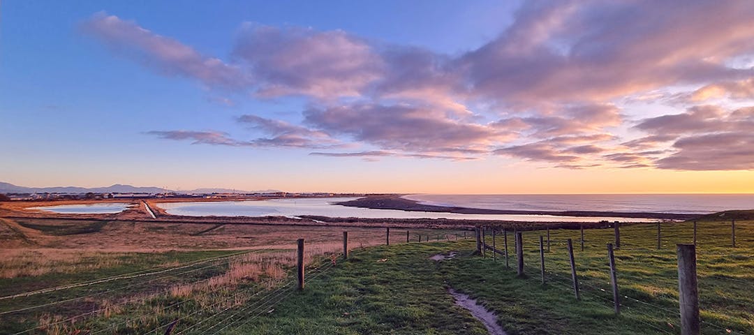
Our Waitarakao Washdyke Lagoon Catchment
Consultation has concluded
With your help, we’ve made a plan.
The feedback period has now closed. Thank you for your contributions.
Thank you, Timaru, for your feedback on a new strategy we have created with the help of the community, to restore the health of the Waitarakao Washdyke Lagoon catchment.
Over the past year the Our Waitarakao project team has engaged with the South Canterbury community to gather feedback to help inform the development of a draft strategy to restore the health of the Waitarakao Washdyke Lagoon catchment. During this period, the community has shared with us what they think is important about the lagoon and catchment, and ideas for improving the health of this special area.
A wealth of information, ideas and stories has been captured through a series of community drop-in events, stakeholder meetings, an online survey and focussed community workshops – which has helped inform the development of the draft catchment strategy.
Consultation has concluded

Stay informed
