Summary of the catchment area

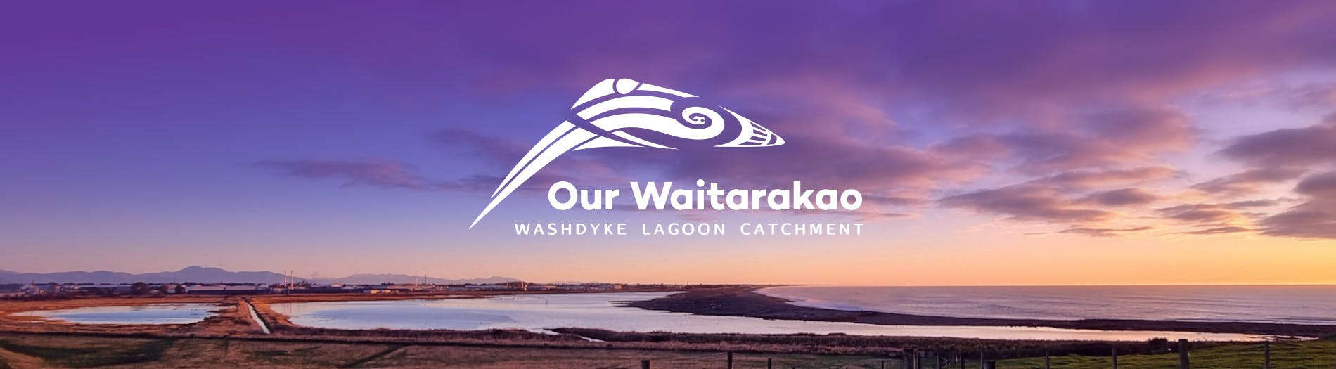
Waitarakao Washdyke Lagoon is a brackish, shallow, coastal lagoon north of Tīmaru on Kā Poupou-a-Rakihouia (the South Canterbury coastline).
It is a nationally significant wildlife sanctuary for birds, plants, and fish. It is also a special place for mana whenua, for local people to visit and explore the rock pools, and for visitors from all around the country - including birdwatchers and geologists.
The wider catchment includes important infrastructure, business and industry, mātaitai reserves, streams and rivers, farming and residential homes.
The lagoon catchment is vulnerable to natural hazards, climate change impacts, and land-use pressures, which has led to an ongoing decline in ecosystem health and increase in hazard risks.
Waterways flowing to the lagoon
The lagoon is a well-known part of Washdyke, Timaru, but the strategy will look at all the areas around it that form the overall catchment. This includes three major streams; Papaka, Rosewill, and Oakwood, and several small tributaries (stream offshoots) which merge into Washdyke Creek before entering the lagoon environment.
The catchment also includes the Seadown Drainage Ratings District – farmed land extending north along the coastline from the lagoon – and parts of the Levels Plain, which contains groundwater, local run-off and other land use that affect parts of the catchment.
The industrial area contains a mix of small business, larger commercial and industrial operations, and large-scale storage facilities. Stormwater run-off following rainfall discharges into Waitarakao Lagoon (in some cases via Washdyke Creek) through a combination of piped or open drains.
The ongoing impacts of land use in the catchment mean we need to collectively take action to make a plan to restore the health of the lagoon and catchment.

Thank you for your contribution!
Help us reach out to more people in the community
Share this with family and friends