
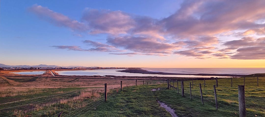
Our Waitarakao Washdyke Lagoon Catchment
Consultation has concluded
With your help, we’ve made a plan.
The feedback period has now closed. Thank you for your contributions.
Thank you, Timaru, for your feedback on a new strategy we have created with the help of the community, to restore the health of the Waitarakao Washdyke Lagoon catchment.
Over the past year the Our Waitarakao project team has engaged with the South Canterbury community to gather feedback to help inform the development of a draft strategy to restore the health of the Waitarakao Washdyke Lagoon catchment. During this period, the community has shared with us what they think is important about the lagoon and catchment, and ideas for improving the health of this special area.
A wealth of information, ideas and stories has been captured through a series of community drop-in events, stakeholder meetings, an online survey and focussed community workshops – which has helped inform the development of the draft catchment strategy.
-
What happens after the public feedback is received?

When the public feedback is complete, this will be analysed and considered for inclusion in the final strategy. Once approved, the strategy will be implemented into a non-statutory plan - with functional stages, actions, and requirements for future funding, and it will help inform future local and regional planning processes.
-
What is the draft strategy about?

The draft strategy outlines the actions needed to ensure a healthy future for the Waitarakao Washdyke Lagoon catchment. It includes five overall outcomes, which each have objectives, first steps and ongoing actions:
Ecological revitalisation or restoration achieves and sustains thriving, healthy, functioning ecosystems - This outcome includes six different objectives, each with its own steps and actions. These include creation of a definitive plan for the physical layout and functionality of the lagoon that puts the health of Waitarakao first, and steps to increase effective predator control.
Increase makiha kai to enable customary harvest of food and resources that were traditionally gathered from the area, ki uta ki tai - This outcome includes first steps to improve the productive health of ecosystems to support targeted mahika kai species and their habitats, such as tuna (eel) and inaka (whitebait), as well as rare plants and kaimoana that live on the reef.
Enable the community to appropriately interact with the catchment - There are three objectives for this outcome and these include first steps to ensure there’s resources available for people to understand the significance of the catchment, as well as clear signage and information about access and active transport links.
The community is informed about, and involved in, the restoration of the mauri (life force) of the Waitarakao catchment - The two objectives for this outcome reflect the local community’s wish to be strongly involved in the restoration process and include steps to ensure a wide range of people, organisations, and interest groups can undertake actions together.
Resilience planning reduces the environmental, social, cultural, and economic impacts of natural hazards - This outcome has six objectives including the development of the next generation of coastal hazard defences to protect adjacent environments, landowners, and businesses.
-
Get involved in activities across the catchment

There’s been a high level of interest and enthusiasm from the community to get involved in activities across the catchment. Over the past few months some great initiatives and lots of mahi has taken place, including a beach clean-up event, plantings, and habitat restoration efforts for a mudfish population.
If you’re interested in becoming involved, get in touch with the Our Waitarakao project team by phoning 027 237 3089 or email WaitarakaoWashdyke@ecan.govt.nz

Stay informed
